We’re hiring Facility Operations Specialists in Seldovia, AK (1), Oxford, MD (1), and Charleston, SC (3).

Our scientists are showing estuary love from air and water!

Our scientists are showing Estuary Love from multiple angles! A new project is using unoccupied aircraft systems, remotely operated underwater vehicles, and SCUBA surveys to map ecosystems in Alaska’s Kachemak Bay and Cook Inlet. These nearshore areas host a variety of marine habitats, including kelp forests, seagrass meadows, and salt marshes, which are important sources of food, shelter, and services that support diverse ecosystems. Dive deeper into this project for details:
https://coastalscience.noaa.gov/project/mapping-intertidal-and-subtidal-habitats-of-kachemak-bay-and-lower-cook-inlet-alaska/

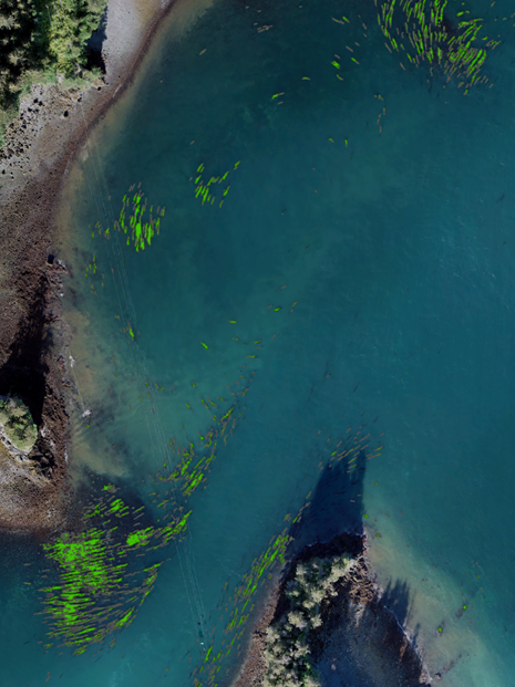
This image of nearshore waters in Kachemak Bay was generated from multiple drone photos that were stitched together and analyzed for floating kelp cover (highlighted in green).
This image of nearshore waters in Kachemak Bay was generated from multiple drone photos that were stitched together and analyzed for floating kelp cover (highlighted in green). Credit: NOAA.
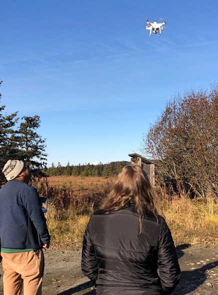
NOAA scientists launch a drone to collect images of local habitats in Alaska.
NOAA scientists launch a drone to collect images of local habitats in Alaska. Credit: Ross Whippo.