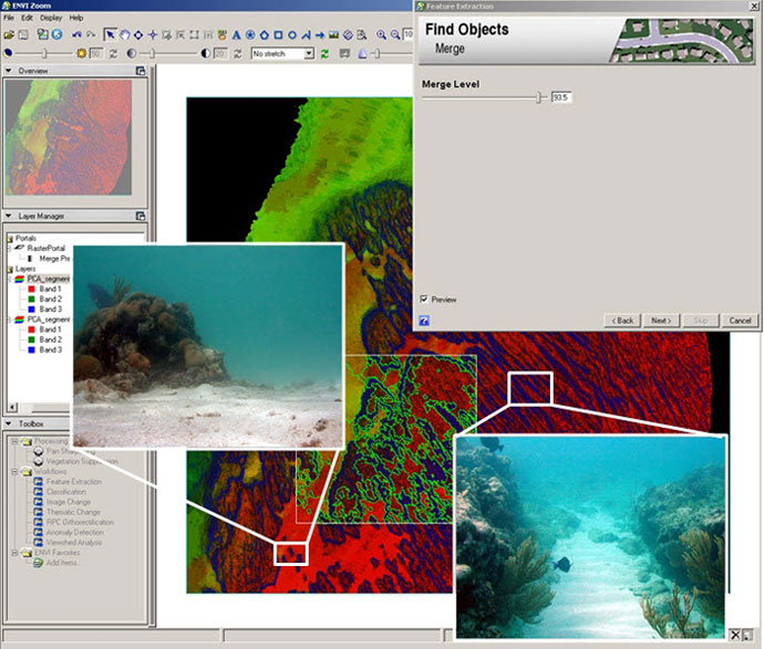
EXELIS Visual Information Solutions (EXELIS VIS), a visual technology company, published a white paper highlighting research done in partnership with NOAA’sNational Centers for Coastal Ocean Science, Case Study: NOAA Maps and Extracts Detailed Information about Sea Floor Habitat Using ENVI Image Analysis software. Through this partnership, EXELIS VIS and NOAAstaff have developed advanced mapping techniques to process, analyze, and fuse different types of geospatial imagery. The semi-automated mapping approach allows NOAA scientists to efficiently and accurately map and extract detailed information about seafloor habitats which provide resource managers with fundamental data to make informed natural resource management decisions. This approach currently integrates a range of imagery sources including sonar, LiDAR, and optical imagery covering the entire seascape of a project area. Given the demonstrated success of the technique, it serves as another method available to others doing research on seafloor mapping.

