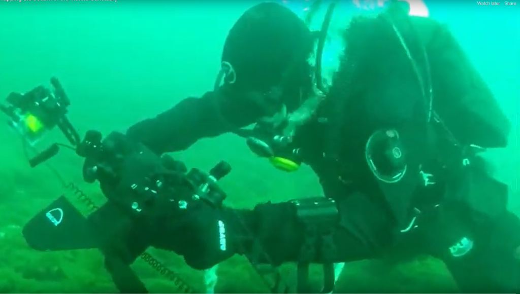
This year, NCCOS scientists and their partners surveyed part of the lakebed in Michigan’s Thunder Bay National Marine Sanctuary to support better management of underwater natural and cultural resources in the sanctuary, located in Lake Huron.
In the summer, the team surveyed the underwater Alpena-Amberley Ridge remotely using a multibeam echosounder and a side scan sonar system. Then, in the fall, divers returned to the ridge with video cameras to verify or “ground truth” the acoustically derived data. The researchers are using the data collected on the missions to develop high resolution maps of shipwrecks, invasive mussel distributions, and important fish habitats in the sanctuary.
While the sanctuary was originally mapped by scientists many decades ago with a lead weight and hundreds of feet of rope, much of the lake bottom has yet to be mapped using modern technology. According to Will Sautter, an NCCOS hydrographer on the project, less than 50 percent of Thunder Bay and less than 20 percent of the sanctuary have been mapped using the latest technology.
The survey missions are part of a one-year project slated for completion in April 2020. Project partners include NCCOS, NOAA’s Office of National Marine Sanctuaries, and NOAA’s Great Lakes Environmental Research Laboratory.
