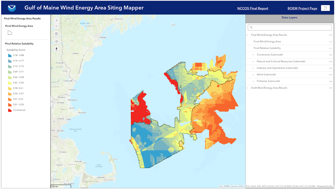
The National Centers for Coastal Ocean Science (NCCOS) wind energy spatial planning team, in conjunction with partners at the Bureau of Ocean Energy Management (BOEM), has released the latest communication product: an interactive storymap that delves into the process of siting offshore wind energy areas in the Gulf of Maine. This immersive tool provides interested parties with the opportunity to explore the data used in the siting process and understand how and why areas were winnowed down from the original Call Area to create the smaller Final Wind Energy Area.
Through the storymap, learn about the detailed process conducted by BOEM and NCCOS to identify suitable locations for offshore wind energy projects. Dive into the wealth of data covering natural and cultural resources, protected species, fisheries, and more, that have shaped decision-making. Explore the journey from the initial Call Area to the Final Wind Energy Area, and the steps taken to minimize conflicts with other ocean activities and sensitive habitat.
The storymap provides the opportunity to discover how renewable energy goals, environmental conservation efforts, and economic opportunities intersect in this complex process. Users can learn about the significant role of public input in shaping decisions and the resulting wind energy area.
By embracing the potential of offshore wind energy and prioritizing responsible planning, the team is paving the way towards a greener, more sustainable future. Public engagement and participation are crucial as the team continues to chart the path towards responsible and sustainable offshore wind development.
Explore this interactive storymap to learn more about offshore wind energy siting in the Gulf of Maine.
