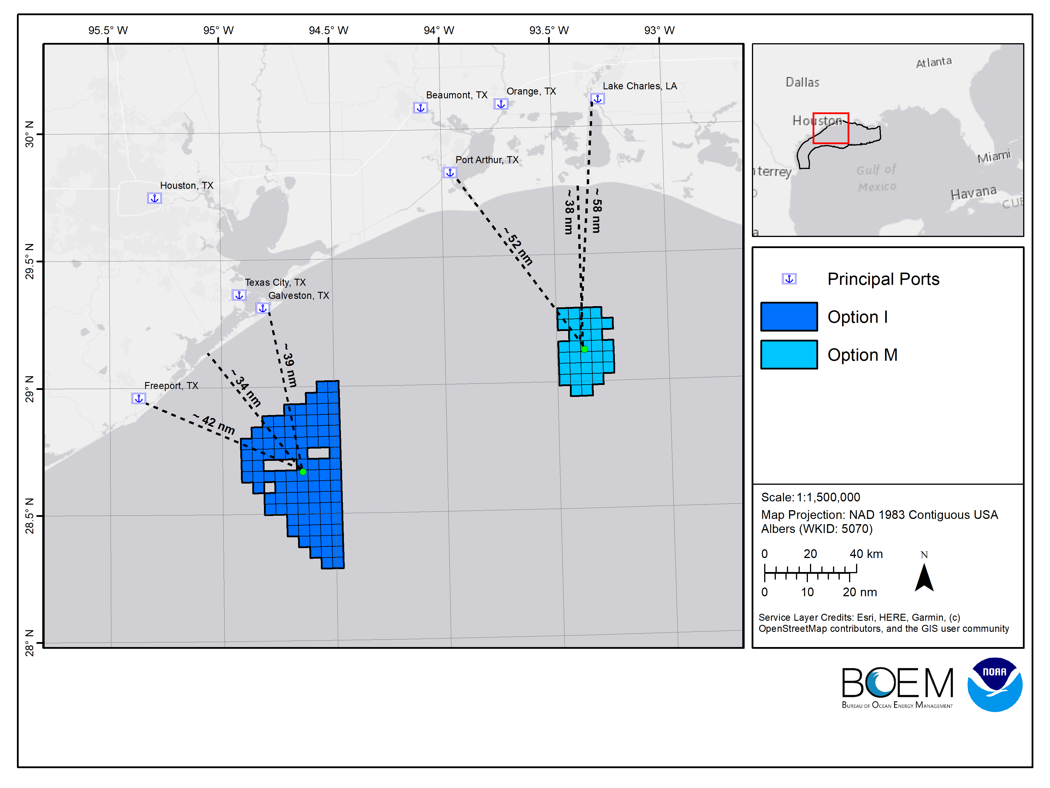
NCCOS, in partnership with the Bureau of Ocean Energy Management (BOEM), built a spatial model to identify optimum locations for offshore wind energy in the Gulf of Mexico.
The coastal ocean is busy, and finding the right spot for new industries is challenging. With hundreds of data layers on natural resources, existing industries, areas important for national security and conservation, spatial analyses provide powerful insights about the past, present, and future ocean.
The NCCOS spatial model provided BOEM with new analytical capabilities, increased transparency, reduced impacts to fisheries and endangered species, and resulted in stronger stakeholder support for wind energy in the Gulf of Mexico.
Two of the best areas the modelers identified for wind energy are located 24 nautical miles off the coast of Galveston, Texas, and 56 nautical miles off the coast of Lake Charles, Louisiana (see map). The areas comprise more than 730,000 acres and have the potential to power more than three million homes. These options recently underwent public review, which will further refine the areas into smaller lease sale parcels that will be offered for auction.
NCCOS mapping products in the gulf and other regions are helping advance the President’s clean energy goal of deploying 30 gigawatts of offshore wind energy by 2030, while minimizing the wind industry’s impacts on protected species, habitats, and commercial and recreational fishing.

