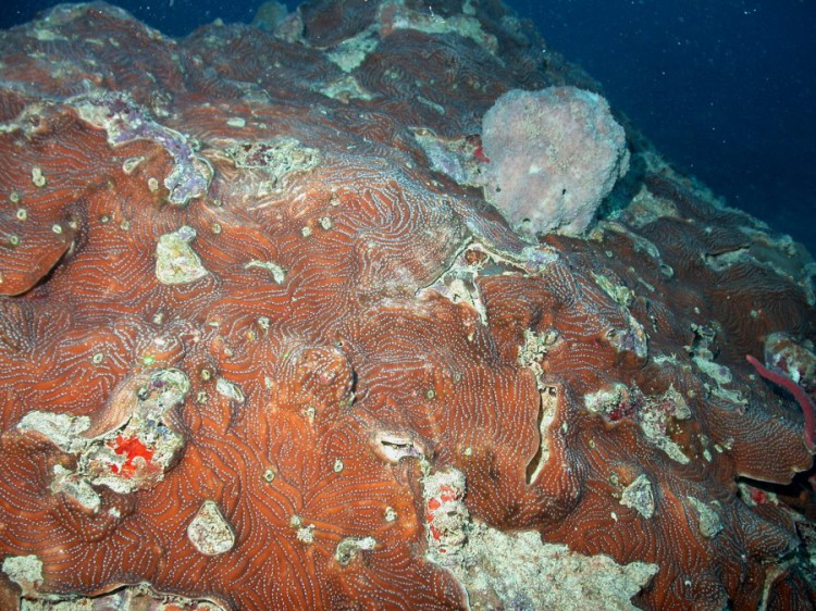
NCCOS scientists recently collected marine habitat data in Puerto Rico’s Northeast Grand Reserve to validate a draft seafloor map of this land and marine protected area in northeast Puerto Rico.

Using high definition,underwater video cameras, the team surveyed four hundred sites within the reserve to document reefs and other critical habitats. The researchers will combine the video data with remote sensing imagery to assess the current draft map and accurately classify the marine habitats of the reserve.
Final map products will provide managers from Puerto Rico’s Department of Natural and Environmental Resources with information on the extent, health, and composition of marine resources within the reserve and support refinements to the reserve’s watershed management plan.
For more information, contact Kimberly.Edwards@noaa.gov or Tim.Battista@noaa.gov.
