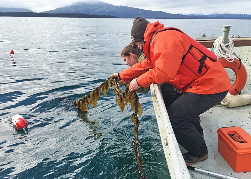
NCCOS provided technical support to coastal managers and a team of Alaska scientists who are developing the Alaska Mariculture Map, a planning tool that will inform mariculture expansion in Alaska. The support included an evaluation of the types, sources, and relevance of various spatial data for aquaculture and an overview of best practices for the design of state-level mariculture spatial planning tools.
The Alaska Mariculture Map will provide industry, regulators, and the public with mapping applications and data relevant to siting mariculture industries in Alaska state waters. The project, funded by NOAA Sea Grant, aims to use spatial planning to increase production of farmed shellfish and seaweed; increase profits in Alaska from mariculture; support continued expansion of new and existing sites; and increase public awareness about the economic, cultural, and environmental benefits of mariculture.
Project partners include the Alaska Fisheries Development Foundation, the Nature Conservancy, Alaska Sea Grant, and the Aleutian and Pribilof Islands Community Development Association.
