NCCOS researchers created a StoryMap that shows oil and chemical spill responders how to build and use a new, spill assessment tool designed by NCCOS.

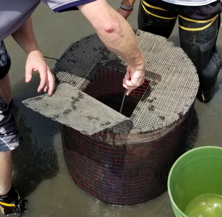
Following the Deepwater Horizon oil spill in 2010, spill responders lacked “ready to use” methods to assess the impact of the disaster on salt marsh species in the Gulf of Mexico. In response, NCCOS scientists developed a system of field-deployed cages containing native fish and crustaceans that allows NOAA’s Office of Response and Restoration to collect ecotoxicology data immediately after an oil or chemical spill, enabling a better assessment of the impacts of a spill and potentially better mitigation actions.
Transferring this technology to spill responders during the COVID-19 pandemic, when in-person instruction and support were not possible, presented a challenge. The usual, written standard operating procedure was not enough. A visual tool was needed to demonstrate how to construct, deploy, and retrieve the field enclosures.
The project team solved the problem using ArcGIS StoryMaps, which facilitated a completely virtual transfer of the field enclosure technology to spill responders. StoryMaps use Geographic Information System software to combine geospatial data with photos, video, audio, and text to visualize and explore a theme online.
