From May 30 to June 9, NOAA and partners spearheaded a research expedition east of Cape Cod, Massachusetts, to gather data to support informed decision-making about offshore wind energy leasing. The collaborative expedition was led by NOAA’s Ocean Exploration Cooperative Institute (OECI), in partnership with NOAA Ocean Exploration and the Deep Sea Coral Research and Technology Program, and funded by NOAA’s National Centers for Coastal Ocean Science and Office of Coast Survey.

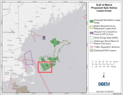
Earlier this year, the NOAA team identified the Bureau of Ocean Energy Management (BOEM) lease blocks 0567 and 0568 as top priorities for mapping and habitat data collection in the Gulf of Maine. These areas, highlighted as “extremely urgent” after extensive prioritization by federal and state partners, required immediate attention because of the critical need for baseline data in time for upcoming offshore wind lease sale decisions.
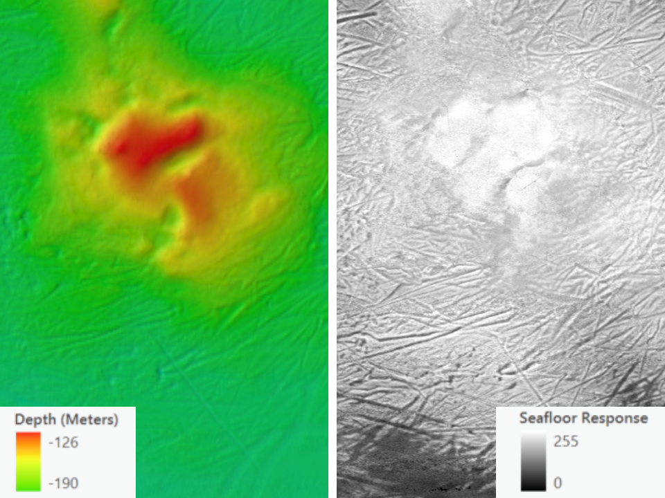
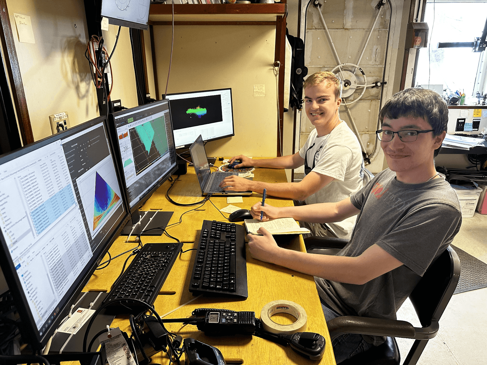
The expedition team used advanced multibeam echo sounder sonar technology provided by Kongsberg Discovery to collect bathymetric (seafloor topography), backscatter (seafloor texture), and water column data to identify potential sensitive or vulnerable hard-bottom features that are home to deep-sea corals and other habitats. These maps will help NOAA create species distribution models for the region, which guide researchers to likely locations of coral habitat and inform fishery management decisions. The Gulf of Maine is an ecologically important area that has historically lacked such information. These new maps not only support habitat discovery and offshore wind project planning, but also contribute to updating navigational charts and enhancing maritime safety.

The expedition revealed areas of hard bottom seafloor, which could indicate coral or sponge habitat. It also mapped fascinating underwater features, including glacial scour marks that appear as huge gouges in the sediment. Further data processing and visual surveys are needed to confirm actual habitat types and to identify evidence of human activity. NOAA is currently planning multiple expeditions to more fully characterize the results of this exploration. All collected data will be archived and publicly available through the National Centers for Environmental Information.

Expedition results informed NOAA Fisheries’ recommendations to BOEM to refine final offshore wind lease areas. Early incorporation of habitat data is critical to help avoid impacts to sensitive marine environments from future renewable energy development.
This expedition was made possible by partnerships with the University of Connecticut, the University of Rhode Island, Stony Brook University, NOAA, the U.S. Geological Survey, Meyer Hydrographic, LLC, and Kongsberg Discovery. Kongsberg installed, calibrated, and donated mapping equipment for the expedition. These results exemplify the power of partnerships in advancing scientific research and supporting sustainable energy development.

