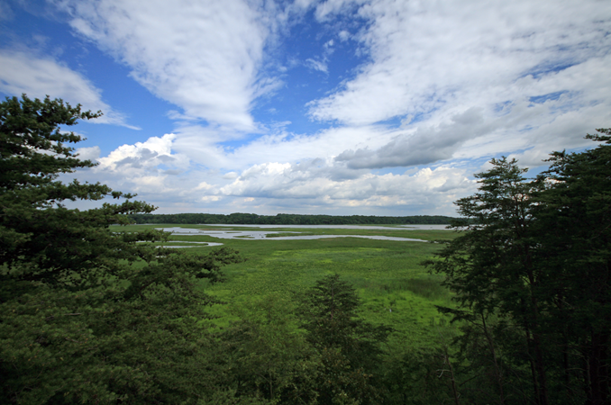
With a land-to-water ratio of 14:1 and an estimated population of over 18 million people, living resources of the Chesapeake Bay have suffered from a number of pressures, including loss of habitat. Previous attempts to quantify relationships between environmental factors and fish habitat have been limited in data and spatial extent. NCCOS partnered with U.S. Geological Survey (USGS) to develop and test methods for assessing fish habitat from headwaters to river mouth, using the Patuxent River Watershed as a pilot area.
Why We Care
The ability of the Chesapeake Bay to support abundant natural resources and thriving coastal communities remains diminished despite years of restoration efforts. Natural resources, such as fish and shellfish, rely on habitat that supports growth. In order to manage these habitats there is a need for further identification of factors impacting them, through quantitative assessments of ecological condition and biological response. Previous assessments of fish habitat for the Chesapeake were largely limited to national datasets or specific funding objectives, but do lend insights into how fish habitat assessments were conducted.
What We Did
NCCOS scientists partnered with USGS and NOAA Chesapeake Bay Office (NCBO) scientists to develop methods, apply existing data sources, and conduct an assessment of fish habitat in the Chesapeake Bay. The team initially focused on separate tidal and nontidal assessment methods. The team then joined forces to conduct a joint assessment of fish habitat throughout the Patuxent River Watershed, including both tidal and nontidal waters. The team gathered input from community members, through two outreach events and stated needs of the Patuxent River Commission.
This study involved the development of an analytical framework capable of organizing data throughout the watershed, collation of many types of environmental information, selection of representative fish species, and statistical testing of the relationship between these data. Key components of the study included:
-
- The development of a headwaters-to-mouth-of-river analytical framework, based on a 10-meter raster layer.
- The generation of pseudo-absence data for fish, to account for differences in survey methods.
- The application of flow-accumulation methods.
- The use of a nested-modeling approach, in which statistical results from relative course framework cells (1,000m) were used to constrain the areas tested in the next finer resolution (100m and then 10m cells).
- The inclusion of a suite of statistical testing methods in initial model selection.
Benefits of Our Work
This effort directly completes one milestone in the series of projects that make up the overall Chesapeake Bay Fish Habitat Assessment. This project addresses needs defined by the 2014 Chesapeake Bay Agreement regarding the conservation and preservation of fish habitat in the Chesapeake Bay. After developing and testing methods for a headwaters-to-mouth-of-river assessment, the team plans to then expand lessons learned in the Patuxent to other watersheds.
