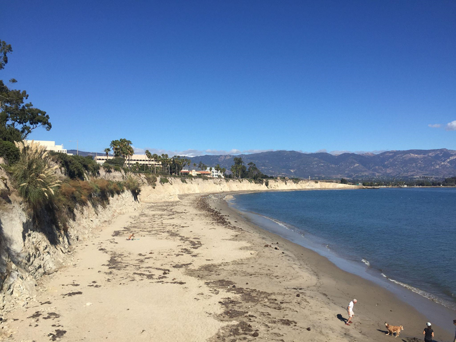
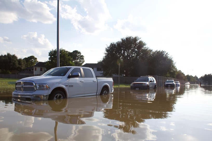
Coastal communities face increased flooding, storms, erosion, and other natural hazards worsened by climate change. Impacts from these events are felt differently across the nation and some communities are more at risk than others. Through our Community Vulnerability Assessment Portfolio, we serve one community or region each year by spatially assessing their vulnerability to natural hazards.
Why We Care
Many of our nation’s coastal communities have limited economic resources, and are disproportionately exposed to natural hazards. Historic inequalities in service provision have deprioritized coastal restoration and infrastructure upgrades in underserved communities. Therefore, underserved communities have had fewer opportunities to prepare for hazardous events. This underscores the need for equitable access to services supporting adaptation, emergency response, and recovery planning. While there are national tools that screen for vulnerable populations, they often do not provide place-based information at a scale or resolution meaningful for local action.
What We Are Doing
Through our Community Vulnerability Assessment Portfolio, we serve one community or region each year and work with local partners and their stakeholders to assess community climate vulnerability (e.g., social vulnerability, flood hazard). At NCCOS, we define vulnerability as “the propensity or predisposition of assets to be adversely affected by hazards” (U.S. Climate Resilience Toolkit). Working with partners directly ensures that results are locally tailored and relevant for effective, equitable planning. This work provides information to better protect, advance, and manage climate change impacts within local communities. Our assessments identify the co-occurrence of hazard exposure with socioeconomic, structural, and geographic vulnerability.
How We Identify Where to Provide Services
The team begins one new assessment each year. NCCOS has developed and deployed an intentional, equitable approach for identifying communities in greatest need of our services. We organize U.S. coastal counties by region, and then screen potential client communities through the criteria explained below. This ensures that our services are reaching those who have been historically underserved and may not have the resources to secure assistance otherwise.
Our screening criteria:
- Low resilience – Low national resilience in one of two indices (the Baseline Resilience Indicators for Communities (BRIC), or the Climate Resilience Screening Index (CRSI))
- High social vulnerability – High national vulnerability in the Center for Disease Control’s Social Vulnerability Index
- High environmental justice exposure – High environmental justice exposure within the Environmental Protection Agency’s EJScreen tool
- Underserved populations – Includes underserved communities (Executive Order 13985)
- Research needs – Lacks data to fulfill current needs & those needs align with NCCOS capacity
- Partner availability – Partners are trusted by the community and available to help facilitate
- Stakeholder support – Community stakeholders are supportive of project and have expressed need
- Timely climate action – Data needed for timely local climate action or adaptation planning
Our Approach to Research
All assessments include the following steps:
-
- Partner engagement
- Indicator development
- Vulnerability and hazard assessment
- Risk assessment
- Place-based analysis
- Product development and release
We provide information to municipal, regional, and federal government agencies and their stakeholders that helps communities better protect themselves. Our tailored geospatial data and products can be used in climate adaptation, resilience, emergency response, and other types of planning at multiple scales. All assessments work with a project advisory committee and often stakeholder workshops to identify and produce maps of:
-
- Vulnerability of social, demographic, and economic factors (e.g., poverty, BIPOC)
- Vulnerability of critical infrastructure (e.g., hospitals, schools)
- Flood hazard(s) of local importance (e.g., coastal flooding, stormwater flooding)
- At-risk communities or community assets in relation to natural hazards
In addition to providing the above information, local needs and research questions often require additional analysis. Within team capacity and data availability, each assessment will also include up to two place-based analysis types that align with local context and need. All findings are made publicly available by releasing an assessment report, mapbook, spatial dataset, one communications item (e.g., infographic, one-pager, storymap), and one plain language webpage summarizing the project. These communications products and plain language webpages are linked at the bottom of this portfolio page.
For a shareable summary of this programmatic portfolio, please see our Portfolio Summary Fact Sheet in the Portfolio Resources section below (under Products, Datasets & Reports). This section also hosts our more detailed Portfolio Summary for Partners Fact Sheet, which includes more information on our research approach as well as partner roles and expectations, and our Portfolio Glossary.