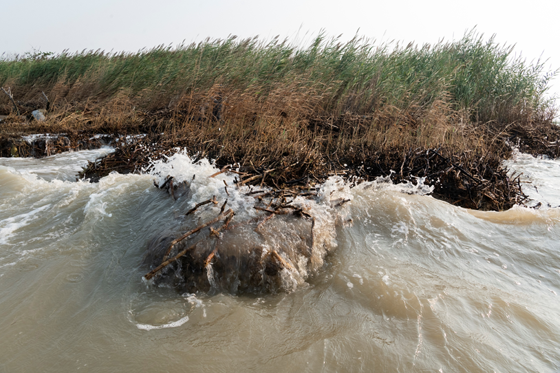
Through a combination of modeling, cost-benefit analysis, and community engagement, we will evaluate land management actions, flood mitigation designs, and policy options under future climate scenarios. This will inform future restoration and flood mitigation project proposals to funding agencies from underserved communities that may have limited capacity in the Chesapeake Bay region.
Why We Care
The Chesapeake Bay region has one of the highest rates of relative sea level rise in the U.S., due to a combination of rising waters and sinking land. Nature-based solutions (NBS) such as coastal marshes, oyster reefs, and living shorelines reduce storm surge, wave energy, and coastal flooding and erosion and can potentially have a mitigating effect on local sea level rise impacts. Barriers to NBS implementation exist, including performance uncertainty, policy and permitting challenges, and funding structures that still favor traditional infrastructure. These barriers are even more accentuated for communities with limited technical and organizational capacity that are already overwhelmed by coastal hazards and failing infrastructure.
What We Are Doing
We are integrating an existing hydrodynamic and wave modeling framework with a cost-benefit and ecosystem services analysis to evaluate land management actions, flood mitigation designs, and policy options under climate scenarios. Results will inform future restoration and flood mitigation project proposals to funding agencies.
We will work closely with local stakeholders, including resource managers, community organizations, and city staff to: 1) facilitate informed decision-making at the community level, 2) communicate complicated modeling concepts in digestible formats, 3) generate project concepts that meaningfully incorporate community resilience goals, and 4) align community goals with government flood adaptation planning.
Benefits of Our Work
This project will support communities applying for federal resilience funding through providing technical analysis of the effectiveness of multiple coastal management actions over short- and long-term planning horizons, considering individual and multiple actions taken simultaneously or in a phased order. A range of actionable information will be developed for our partners. Outputs will include:
-
- Maps indicating how policies or adaptation measures would change flood risk
- Impacted resources or social impacts under no-action vs. action/management scenarios
- Cost-benefit analysis consistent with methods approved by federal grant proposals to inform community resilience decision-making
- Ecosystem services assessments to inform community planning, including for achieving the Chesapeake Bay water quality goals and for promoting an outdoor recreation-based economy in Maryland’s coastal communities
- Metrics for sea level rise and coastal inundation impacts to locally valued ecosystem services (including recreational benefits) and comparison metrics for when NBS approaches are applied
- Simple design standards for NBS within a region based on more advanced model evaluation
- Refined list of community resilience goals to guide strategy development
This project is led by Dr. Celso Ferreira at George Mason University, in collaboration with Joseph Galarraga at The Nature Conservancy, Dr. Margaret Walls at Resources for the Future, and Nicole Carlozo at the Maryland Department of Natural Resources, and is funded through the NCCOS Effects of Sea Level Rise (ESLR) Program.
