Coastal Aquaculture Planning Portal (CAPP)
A Toolbox for Sustainable Aquaculture Coastal Planning and Siting
The Coastal Aquaculture Planning Portal (CAPP) is a toolbox of coastal planning tools designed to assist managers, planners, and industry with sustainable aquaculture development. This toolbox was developed in partnership with Digital Coast, a product of the NOAA National Ocean Service Office for Coastal Management. Explore the portal by filtering Subportal, Keyword, and Region.
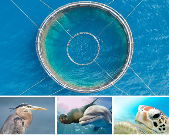
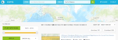
As marine aquaculture expands around the world, there is increased concern for impacts to protected species. Documented cases of marine mammal, sea turtle, seabird, and shark interactions with aquaculture installations do exist but are challenging to find. This extensive review summarizes the state of knowledge of protected species interactions with marine fish and shellfish aquaculture installations.
Aquaculture Application: This review is useful for informing industry planning and permitting to develop aquaculture in the open ocean. This work will help advance the science of conservation by synthesizing the state of knowledge and provide managers and industry with more insight to protect the most vulnerable species.
Access the full PDF in the NOAA Institutional Repository.
Guide for marine cage culture BMPs in the U.S. Caribbean
Aquaculture application: These BMPs are useful for guiding the management practices of cage culture operations to ensure productivity and environmental stewardship in the U.S. Caribbean.
Contributing Partners: GCFI, Sea Grant, DRNA
View Product
CetSound, or Cetacean & Sound Mapping, consists of two mapping tools: CetMap and SoundMap. Both tools aim to assist in evaluating the impacts of man-made noise on cetacean species, which include whales, dolphins, and porpoises.
Aquaculture application: NOAA is developing publicly available tools for assessment, planning and mitigation of noise-making activities over ecologically-relevant scales.
Contributing partners: NOAA
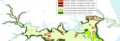
To support Chesapeake Bay native oyster restoration and other benthic habitat assessments requiring seafloor characterization, the NOAA Chesapeake Bay Office has completed acoustic seafloor mapping projects around the Bay.
Aquaculture Application: Planning and siting for shellfish aquaculture.
Contributing Partners: NOAA Chesapeake Bay Office
Translates existing benthic habitat data sets to the Coastal and Marine Ecological Classification Standard (CMECS). Users can then create a file geodatabase containing CMECS component feature layers.
Aquaculture application: The Crosswalk Tool classifies benthic habitat for users to export categorized data, and import into a GIS to assist with aquaculture screening and siting.
Contributing Partners: NOAA OCM
View Product
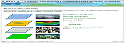
Use this database to browse the CMECS classification and to get definitions for individual CMECS Units for water column, geoform, substrate, and biotic components. This database contains the units that were published in the Coastal and Marine Ecological Classification Standard.
Aquaculture Application: National framework for organizing information on the physical, biological, and chemical data that are collectively used to define coastal and marine ecosystems.
Contributing Partners: IOCM
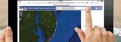
Create a map of potential ecological, social, and economic impacts from rising seas and changing climate. Resources are organized under three themes: extreme storms, shoreline change, and sea level rise.
Aquaculture application: Assess, download, and share data on coastal change and potential impacts to coastal aquaculture in the present and future.
Contributing Partners: USGS
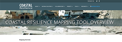
The Nature Conservancy examines nature’s role in reducing coastal flood risk. The program consists of an approach, a web mapping tool, and a network of practitioners around the world supporting hazard mitigation and climate adaptation planning.
Aquaculture application: Aquaculture operations and inland infrastructure can be better prepared for extreme events and build resilience into their management framework.
Coastal aquaculture planning, screening, and siting at global, national, regional, and in some cases, local scales.
Contributing Partners: The Nature Conservancy
The Ecological Marine Units (EMU) map seeks to portray a systematic division and classification of physiographic and ecological information about features in the ocean. The explorer brings a fully interactive map to users, of marine ecology that is fully 3D and covers all of the oceans will make it possible for users to navigate through the ocean and observe a wide range of ocean parameters such as salinity and oxygen levels, as you explore from the surface down to the ocean floor.
Aquaculture application: This application allows for coastal managers and the aquaculture industry to have a rough characterization of dissolved chemical components at various depths throughout the World’s oceans. These estimates can aid in screening areas for aquaculture.
Contributing Partners: ESRI
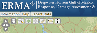
As a response to the unprecedented Deepwater Horizon oil spill in the Gulf of Mexico in 2010, NOAA’s Office of Restoration & Response (OR&R) created an interactive web map to communicate to the public about potential impacts and restoration of the affected coastlines and the Gulf itself.
Aquaculture application: OR&R keeps the ERMA viewer active and updated with various studies completed after the Deepwater Horizon oil spill about impacts to the surrounding Gulf environment. As petroleum products have the potential to bioaccumulate in aquaculture organisms, numerous studies were conducted post-spill, and results are now integrated into the web viewer for visualizations of products. These products include numerous reports for oysters, a major aquaculture species in the Gulf region.
Contributing Partners: NOAA Office of Response and Restoration
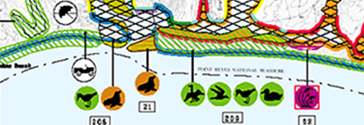
Environmental Sensitivity Index (ESI) maps provide a concise summary of at risk coastal resources if an oil spill, or other technological disaster, occurs. Examples of at-risk resources include biological resources (e.g., shellfish beds), sensitive shorelines (such as marshes and tidal flats), and in-water aquaculture assets.
Aquaculture application: Shellfish operators can utilize ESI maps to determine vulnerable locations to technological disasters, such as oil spills, and plan accordingly if a spill were to occur. Proper protective spill equipment (e.g., booms) and actions can be implemented, reducing the environmental consequences of the spill and the cleanup efforts.
Contributing Partners: NOAA NOS Office of Restoration & Response
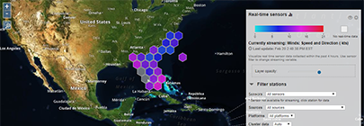
The Environmental Sensor Map integrates regional, national, and global real-time data across the Integrated Ocean Observing System (IOOS) enterprise. Data from observing systems can be directly accessed through the map. Overall, the map connects to over 31,000 stations providing the latest information on oceanographic and meteorological conditions.
Aquaculture application: Users can visualize real time maritime and atmospheric data, as well as forecasted data, which can be utilized by aquaculture industry and coastal managers for management and planning.
Contributing Partners: IOOS
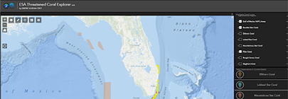
Shows where Endangered Species Act (ESA) threatened coral species can be found in the Gulf of Mexico region and allows the user to measure distance, filter by year and coral species, run spatial analysis, and get background information on data layers that are updated annually.
Aquaculture application: Used for planning, risk reduction, and identification of sensitive species and habitats for aquaculture application.
Display essential fish habitat areas and the restrictions, or needed data associated with those areas. Users can also query spatial information from fishery management plans.
Aquaculture application: Identify potential sensitive habitats, and information for EFH consultations, to identify and report any sensitive habitats overlapping with siting of new aquaculture infrastructure.
Contributing Partners: NOAA Office of Habitat Conservation
View Product
Allows users to view, retrieve, visualize and analyze a wide range of estuarine data from multiple authoritative sources.
Aquaculture application: Interactive software application for water quality conditions for screening and siting aquaculture.
Requirements: Download
Contributing Partners: EPA
View Product
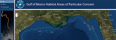
Shows the locations of coral observations as well as current and proposed HAPCs in the Gulf of Mexico where dredge fishing gear is prohibited.
Aquaculture application: Used for planning, risk reduction for impacts to the ecosystem, and identification of sensitive habitats to avoid for aquaculture application.
The Gulf AquaMapper is a web-mapping application designed to assist managers in identifying suitable areas for aquaculture development in the Gulf of Mexico. The application provides high resolution maps to improve the coordination and transparency of permits and siting, which in turn reduce planning costs on industry and regulatory agencies and allow for more investment opportunities in domestic seafood production.
Aquaculture application: Online spatial screening tool consisting of aquaculture relevant data for the Gulf of Mexico.
Contributing Partners: NOAA, Marinecadastre.gov, OCM
The GOMAportal.org is a metadata catalog and data repository for Gulf of Mexico related geospatial datasets. Allows you to browse data for regulatory, oceanographic and biological information.
Aquaculture application: Spatial technologies for disaster assessment, emergency response, and planning for coastal aquaculture in the Gulf of Mexico.
Contributing Partners: Esri
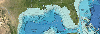
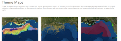
The GOMOD platform includes a comprehensive map of seagrass extent for the entire Gulf of Mexico, curated theme maps for key coastal and ocean management topics of interest to Gulf stakeholders, a data explorer where users can choose their own datasets of interest, and access to a suite of regional data tools developed by GOMA.
Aquaculture application: With themed maps, users can explore bathymetry, offshore energy, priority habitats, and seagrass data. Assessments of environmental factors and infrastructure can be used in collaborative aquaculture habitat suitability planning and siting efforts.
Contributing Partners: GOMA
IOOS data comes from a variety of technologies or data collection systems. While types of data available through any one of our 11 regional associations may vary depending on the local area, the national IOOS data products include data collected from buoys, high frequency radar systems and gliders. Modeling teams across regional associations also create data products including physical and environmental models of coastal systems.
Aquaculture Application: Useful for visualizing oceanographic conditions and forecasting for aquaculture development.
Contributing Partners: NOAA IOOS
Free, open-source software models where users may map and value goods and services form the ecosystem that help to sustain and fulfill life.
Aquaculture application: Enables decision makers to assess the trade-offs associated with alternative choices, where investment in natural capital (aquaculture), can enhance human development and conservation in terrestrial, freshwater, and marine ecosystems.
Requirements: Download software
Contributing Partners: Natural Capital Project
View Product
IOOS is an integrated network of people and technology gathering observing data and developing tracking and predictive tools to benefit the economy, the environment, and public safety at home, across the nation, and around the globe.
Aquaculture application: IOOS buoys and sensor stations provide real-time data and data products for numerous areas around the nation. Many of the atmospheric and oceanographic parameters are needed for siting and monitoring aquaculture operations.
Contributing Partners: NOAA
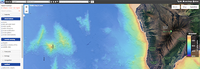
This portal contains ecological datasets including marine environmental, benthic habitats, fishes, sea turtles, marine mammals and seabirds off the Main Hawaiian Islands.
Aquaculture application: Datasets may be used to assist in siting offshore aquaculture operations in federal waters.
Contributing Partners: NOAA/NCCOS, BOEM
Provides an assessment of marine cage culture and environmental interactions
Aquaculture application: This technical overview is a state of science analysis providing information about the potential environmental impacts of finfish cage culture systems, and guidance for best farm practices for sustainable farming. Additional guidance is provided for permitting and monitoring for U.S. regulatory agencies, as well as for coastal stakeholders aiming to make informed aquaculture decisions.
A collection of over 250 geoprocessing tools and data products in one GIS toolbox that can easily be imported into a user’s GIS environment.
Aquaculture application: Coastal aquaculture planning, screening, and siting at global, national, regional, and in some cases, local scales.
Requirements: ArcGIS 10.x
Contributing Partners: Duke University, NOAA OCM
View Product
Collaboration to produce “base layer” predictive model products with associated uncertainty products for 29 marine mammal species or species guilds and 40 avian species, and three geospatial products for 82 fish species.
Aquaculture application: Decision support tools for aquaculture coastal managers and stakeholders to view numerous sets of biological data, as well as derived data products.
Contributing Partners: Duke University (MGEL), NOAA, NCCOS, Loyola University
Supplies baseline ocean planning data and allows for high quality visualizations for marinecadastre.gov data. Data and metadata can be viewed and downloaded as well.
Aquaculture application: Download and visualize 249 various data layers for coastal planning, including spatial data for the Nation’s aquaculture industry (search for the “aquaculture” layer).
Contributing Partners: BOEM, NOAA OCM
View Product
Supports conservation planning design and evaluation through the development of multiple-use areas and plans for natural resource management.
Aquaculture application: Employ this tool to meet ecological, social, and economic objectives for coastal aquaculture planning.
Requirements: Download
Contributing Partners: University of Queensland Australia
This highly-functional online toolkit and resource center consolidates available data and enables a multitude of stakeholders to visualize and analyze ocean resources and human use information such as fishing grounds, recreational areas, shipping lanes, habitat areas, and energy sites, among others.
Aquaculture application: MARCO serves as a platform to engage all stakeholders in the five coastal mid-Atlantic states, assembling much of the essential data needed for aquaculture screening in the region. MARCO uses a customized, state-of-the-art mapping and visualization technology to better engaged all stakeholders in the ocean planning process.
Contributing Partners: MARCO
View Product
Allows users to assess (i.e., calculate) and better understand cumulative effects for numerous management scenarios (e.g., climatic variability, site conflicts). The tool supports adaptive management by integrating monitoring data and new knowledge or models to better understand how well an area is meeting conservation objectives.
Aquaculture application: This tool allows users to Integrate conservation tools and practices with aquaculture screening and siting in the pursuit of an ecosystem approach to aquaculture.
Requirements: Monetary: Non-commercial user – free; commercial user – $2500 for the first year; Software: ArcGIS 10.X and spatial analyst extension
Contributing Partners: NatureServe
View Product
Allows users to interactively view data, aerial imagery, dive photography, underwater video and related publications developed for the benthic habitat mapping of many U.S. coral reefs. In addition to viewing benthic habitat data, users can examine the attributes of the data and view different thematic representations. Photos and videos taken during dive missions are linked to the location of the dives.
Aquaculture application: The application allows aquaculture coastal managers and industry to visualize the benthic habitat, and make screening and siting decisions based on benthic composition.
Contributing Partners: NOAA, NCCOS
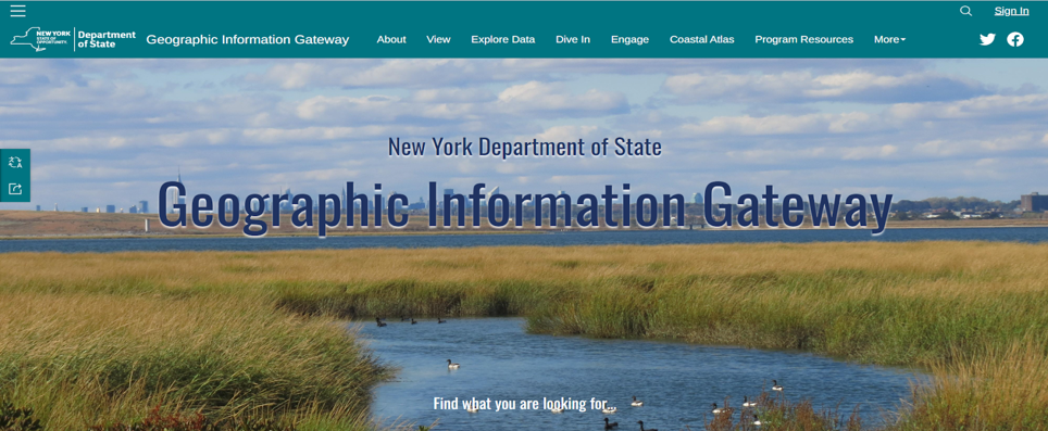
The Geographic Information Gateway provides public access to data, real-time information, interactive tools, and expert knowledge relevant to the Office of Planning, Development & Community Infrastructure (OPDCI) activities throughout New York State.
Aquaculture Application: The Gateway map viewer allows users to visualize and explore geographic data, learn about case studies that improve decision-making, access real time oceanographic information (water quality, tides), and improve consistency with planning and permitting for aquaculture. This app is an excellent complement to the New York State Dept of Environmental Conservation’s Public Shellfish Mapper and includes additional information on aquaculture sites.
Contributing partners: New York Department of State
The “all-in-one” NOAA CoastWatch/OceanWatch Data Portal for viewing products and accessing data files has been updated with new features and more data: Visualize, layer, geographically and temporally subset data products and download files for your selections.
Aquaculture Application: Useful to observe and predict oceanographic trends for aquaculture screening and planning.
The CHAMP Portal is a query tool for accessing oceanographic and meteorological data from the CHAMP database. This database defines many “stations,” or latitude-longitude pairs, which may be physical observation platforms of some kind (CREWS pylons, SEAKEYS light towers, CCCCC buoys, or other) or “virtual” stations at points of interest for which remotely-sensed parameters are collected and stored.
Aquaculture application: Environmental assessments of coral habitat queries can be used in collaborative aquaculture habitat suitability planning and siting efforts.
Contributing Partners: NOAA
Story map documenting how shellfish farms interact with the environment.
Aquaculture application: Provides information on sustainable seafood development by fostering marine aquaculture production, while also protecting our oceans and coastal ecosystems that aquatic species call home. Aquaculture education, ocean education.
Contributing Partners: NMFS
NOAA Fisheries’s science-based conservation and management of sustainable fisheries, marine mammals, endangered species, and their habitats have become global models for marine stewardship and sustainability.
Aquaculture application: Effective science-based conservation and management are essential to ensuring sustainable domestic seafood production, maintaining and enhancing fishing opportunities, recovering protected species, and safeguarding ecosystem health.
Contributing Partners: NMFS
Based on the idea of a traditional atlas, the Gulf of Mexico Data Atlas provides an interactive platform to view and download many data layers pertinent to ocean planning. Data layers are grouped by theme, including physical, biotic, living marine resources, socioeconomic conditions, environmental quality, and jurisdictions in the U.S. portion of the Gulf of Mexico.
Aquaculture application: The interactive Gulf of Mexico Data Atlas provides numerous themed data layers that users can visualize and download for aquaculture screening in the Gulf of Mexico.
Contributing Partners: NOAA NESDIS; NOAA NCEI
View Product
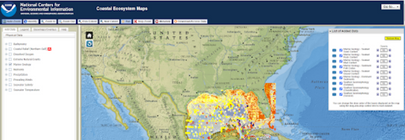
This Portal provides access to coastal ecosystem maps (physical data, biotic data, living marine resources, socioeconomic conditions, environmental quality, and jurisdictions), images, and technical reports from research funded by NOAA’s Centers for Environmental Information (NCEI).
Aquaculture application: Environmental assessments of physical, biotic, and living marine resources reports can be used in collaborative aquaculture habitat suitability planning and siting efforts.
Contributing Partners: NOAA
The Future of Ocean Farming: an introduction to marine aquaculture, breeding, rearing, and harvesting of aquatic plants and animals.
Aquaculture application: Aquaculture education, ocean education.
Contributing Partners: NOAA
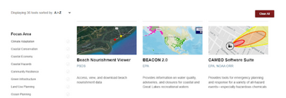
This page is a suite of 73 tools that can be used for coastal planning and development, community resilience projects, climate adaptation, and more. Data and information contained here provides coastal managers the information and tools they need to balance society’s environmental, social, and economic goals.
Aquaculture application: Wide range of geospatial datasets and tools on different geographical, economic, and environmental data to inform coastal and aquaculture planning in the U.S. EEZ.
Contributing Partners: NOAA, TNC, and various state, federal, regional, and academic institutions.
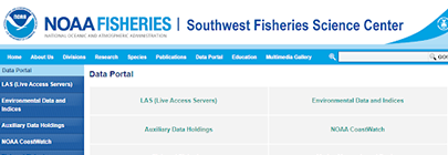
This data portal hosted by the SWFSC provides data relevant for the conservation and management of the living marine resources in the California Current, Pacific Ocean and in Antarctica.
Aquaculture application: Used for planning, risk reduction, and identification of sensitive species and habitats for aquaculture application.
Contributing Partners: NMFS
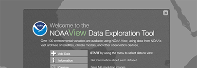
Users can visualizes numerous environmental variables at various depths and temporal distillations across the globe. The tool uses data from NOAA’s vast archives of satellites, climate models, and the NOAA Ocean Atlas.
Aquaculture application: Aquaculture coastal managers and industry can visualize and find values for numerous climatologies distilled by month, season, or year, and at numerous depths. This information can then be used for screening-level planning for aquaculture operations.
Training: Tutorial video
Contributing Partners: NOAA National Visualization Lab
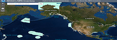
This application can be used to view, query and explore the MPA Inventory, a database compiled by NOAA’s Marine Protected Areas Center that catalogs information on over 1600 marine protected areas in U.S. waters.
Aquaculture Application: Used for coastal planning, risk reduction for impacts to the ecosystem, and identification of sensitive species and habitats to avoid during aquaculture development.
Contributing Partners: NOAA
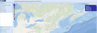
Shows real-time wind, weather, precipitation, air temperature, relative humidity, sea level pressure and inundation for Northeast coastal U.S. states.
Aquaculture application: Used for weather forecasting, planning, preparedness, and use of spatial technologies for aquaculture application.
Contributing Partners: University of Massachusetts, Dartmouth College, Woods Hole Oceanographic Institution
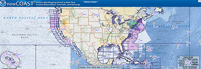
NowCOAST provides situational awareness on present and future environmental conditions for coastal and marine users by integrating data and information from across NOAA, other federal agencies and regional ocean and weather observing systems. Users can assess present conditions by creating maps of the latest in-situ weather/marine weather observations for the last few hours. In terms of future conditions, users can obtain maps of critical weather and marine weather advisories, watches, and warnings, weather forecasts, tropical cyclone track and intensity forecasts, and forecast guidance of water levels, temperature, salinity, and currents from oceanographic forecast models.
Aquaculture application: Current and forecast meteorological products available on NowCOAST help to site and monitoring coastal aquaculture operations.
Contributing Partners: NOAA/NOS
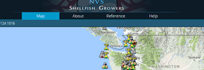
Interactive map viewer for shellfish farmers in the Pacific Northwest coastal region. This map viewer includes meteorological, physical and chemical oceanographic parameters both in real time, hincast, and forecast models. For more general information and forecasting there is the Data Explorer.
Aquaculture application: This allows shellfish growers in the Pacific Northwest to monitor current and forecasted conditions of the coastal waters that may impact farm performance.
Contributing Partners: NANOOS
View Product
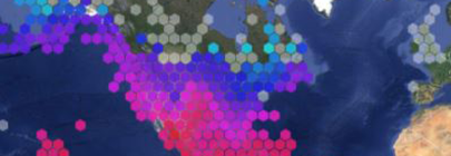
Ocean Biogeographic Information System Spatial Ecological Analysis of Megavertebrate Populations, is a spatially referenced online database, aggregating marine mammal, seabird, sea turtle and ray & shark observation data from across the globe.
Aquaculture application: Assists aquaculture planners and stakeholders, in siting proper locations that will have the least impact on marine mammals, sea turtles and other protected species.
Contributing Partners: Census of Marine Life, Marine Spatial Ecology Lab
This interactive map viewer and data portal displays real-time data collected from NOAA Integrated Ocean Observing System (IOOS) buoys and stations. The map viewer displays multiple parameters to include water quality data, weather data, geographical features, biological data and more for the southeastern United States (North Carolina to Florida). Data displayed in the viewer can also be downloaded by the user through the portal feature.
Aquaculture application: This interactive portal allows users to view biological, chemical, physical, meteorological, and geographical parameters for screening aquaculture locations for compatible conditions for potential aquaculture operations.
Online interactive map interface to support visualization of real-time satellite data to understand climate variability and manage U.S. coastal resources.
Aquaculture application: Remote sensing, observational, modeled data, bathymetry, biological, forecasts, and navigational data for the waters surrounding the Hawaiian Islands.
Assessment of protected species (marine mammals, sea turtles, and birds) interactions with marine aquaculture around the globe.
Aquaculture application: This state of science analysis provides information for environmental assessments and consultations for aquaculture permitting.
Contributing Partners: NOAA, NOS, NCCOS
View Product
Measure potential runoff, nonpoint source pollution, and erosion.
Aquaculture application: Assess the potential for erosion and pollution from runoff on water quality in possible aquaculture development areas.
Contributing Partners: NOAA OCM
View Product
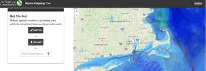
This tool was created to quantitatively assess marine life and habitats based on data from the regional data portals to support environmental impact assessments related to wind energy development offshore. “Flags” are intended to draw attention to significant marine features in the Area of Interest (AOI) that may need monitoring or mitigation.
Aquaculture application: Environmental assessments of benthic, pelagic, and species of interest (e.g., marine mammals, birds, fish, invertebrates) can be used in collaborative aquaculture or offshore wind habitat suitability planning and siting efforts.
Contributing Partners: The Nature Conservancy
Compiles, analyzes, and makes accessible information on the nation’s transportation systems; collects information on intermodal transportation and other areas as needed; and improves the quality and effectiveness of DOT’s statistical programs through research, development of guidelines, and promotion of improvements in data acquisition and use.
Aquaculture application: Aquaculture education, ocean education.
Contributing Partners: USBTS
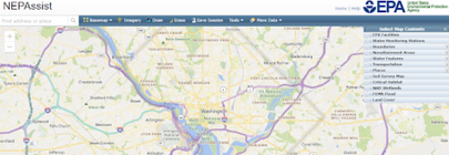
NEPAssist is a tool that facilitates the environmental review process and project planning in relation to environmental considerations. The web-based application draws environmental data dynamically from EPA Geographic Information System databases and web services and provides immediate screening of environmental assessment indicators for a user-defined area of interest. These features contribute to a streamlined review process that potentially raises important environmental issues at the earliest stages of project development.
Aquaculture application: Environmental assessments indicators from GIS data that can be used in collaborative aquaculture planning and siting efforts.
Contributing Partners: ESRI, USEPA OAR, USEPA OAQPS
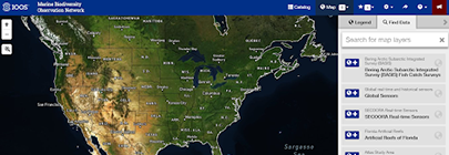
Search and download real-time, delayed-mode, and historical data for in situ and remotely-sensed physical, chemical, and biological observations, compare datasets across regions and disciplines, generate and share custom data views, link to information about protocols, methods and best practices for biological observing, and access a full suite of tools developed with a broad range of IOOS and MBON partners.
Aquaculture application: Remote sensing, observational, modeled data, bathymetry, biological, forecasts, and navigational data for the waters surrounding the Hawaiian Islands.
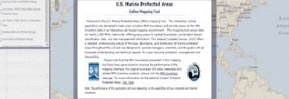
Provides access to boundaries of over 1600 MPAs, their classification, use restrictions, and associated spatial data for all marine protected areas.
Aquaculture application: User’s can visualize marine protected areas, determine if these areas prohibit aquaculture, and summarize data in a way meaningful to them.
Contributing Partners: NOAA MPA Center
View Product
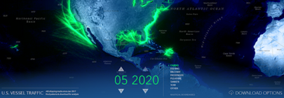
AIS data are collected by the U.S. Coast Guard through an onboard navigation safety device that transmits and monitors the location and characteristics of large vessels in U.S. waters in real time. This Portal allows the user to view that traffic by type of vessel (e.g., cargo, fishing, military, passenger, pleasure, tanker, tow).
Aquaculture application: The user can view patterns of vessel traffic over time to ensure that potential aquaculture development will not conflict with areas of frequent vessel traffic or coastal operations.
Contributing Partners: USCG
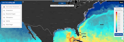
This service provides free and open marine data and services dedicated to aquaculture, enabling marine policy implementation, and supporting Blue Growth and scientific innovation. This Portal allows the user to view sea surface temperature, ocean temperature, dissolved oxygen, chlorophyll a, salinity, and wave height.
Aquaculture application: Environmental assessments of physical and oceanographic data queries can be used in collaborative aquaculture habitat suitability planning and siting efforts.
Contributing Partners: E.U. Copernicus Marine Service
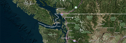
Interactive decision-support tool for the Washington State coastline and near shore waters supporting transparent data sharing and ocean-planning information.
Aquaculture application: This tool is designed to provide users visualizations of ocean and estuarine data for the state of Washington. It can aid in identifying potential risks, siting conflicts and long-term suitability for particular areas in Washington State.
Contributing Partners: Washington State Department of Ecology


