Mapping Coordination and Spatial Prioritization
Providing accurate geospatial map products to clients is one of NCCOS’s principal objectives, but doing so requires having a thorough understanding of the target users’ mapping requirements, and strong coordination among data providers and users. NCCOS demonstrates expertise in building inventories and catalogs of existing mapping data to improve interagency coordination efforts; selecting and operating research vessels, platforms, and sensors; and collecting seafloor and water column data.
Mapping Coordination
NCCOS has been on the forefront of coordinating regional mapping efforts. Our partnerships with federal and non-federal organizations have enabled significant leveraging of resources to fill data gaps to address multiple organizational and management goals. NCCOS has developed a robust network of partners throughout the U.S. to provide expertise in understanding the uses, collection, and application of mapping data to support a variety of coastal management and conservation issues.
Spatial Prioritization
Determining the most significant areas to map can be challenging. NCCOS has designed a participatory spatial prioritization process to provide critical information on “where” and “why” mapping data are needed and to promote mapping coordination, planning, and collaboration among multiple agencies. Planning between agencies and their partners will allow them to “map once, use many times,” ultimately reducing redundant efforts and maximizing the efficient use of resources.

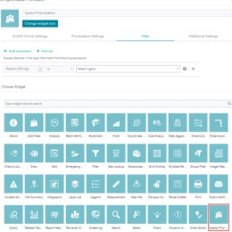
Spatial Prioritization Widget

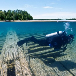
Lakebed Mapping in Thunder Bay National Marine Sanctuary

Prioritizing Areas for Future Seafloor Mapping, Research, and Exploration in the U.S. Caribbean

Prioritizing Areas for Future Seafloor Mapping, Research, and Exploration Offshore of California, Oregon, and Washington


