Mapping Data Visualizations and Online Tools
NCCOS specializes in developing multiple types of visualizations, ranging from static products to those that are interactive. Static products like maps, figures, or infographics synthesize information into discrete, understandable, and easily shareable formats. Visually appealing, moving products, such as video fly-throughs of habitat mapping data or interactive models, help display information in more immersive and dynamic formats. To increase availability and usability of visualizations, NCCOS also generates online tools, such as data portals, data atlases, and interactive decision-support tools, that represent the next frontier in data translation and communication.
Online Maps
Online interactive models can be very engaging, allowing users to adjust viewing angles and zoom into specific areas. Built-in tools even allow users to measure various model features. Web mapping services, such as BIOmapper, facilitate the exploration of habitat mapping data in marine and freshwater ecosystems. The tool currently features habitat maps generated for 20 geographic areas, including several federal marine protected areas in the Pacific and Caribbean, and a recently designated national marine sanctuary in the Great Lakes.
Alaska Spatial Bibliography
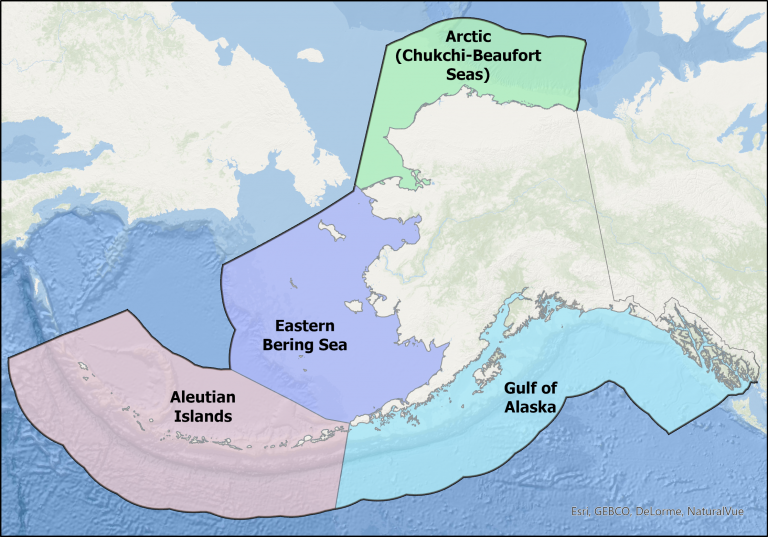
Researchers can use the Alaska Spatial Bibliography to identify data gaps, as well as unexplored and underexplored areas of Alaska’s deep sea to prioritize future expeditions and help the scientific community achieve broader environmental management goals.
NCCOS BIOmapper
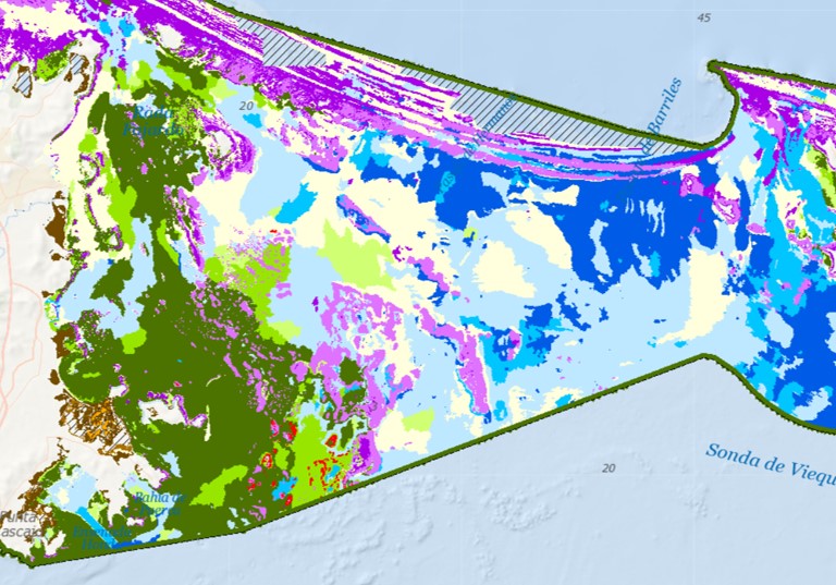
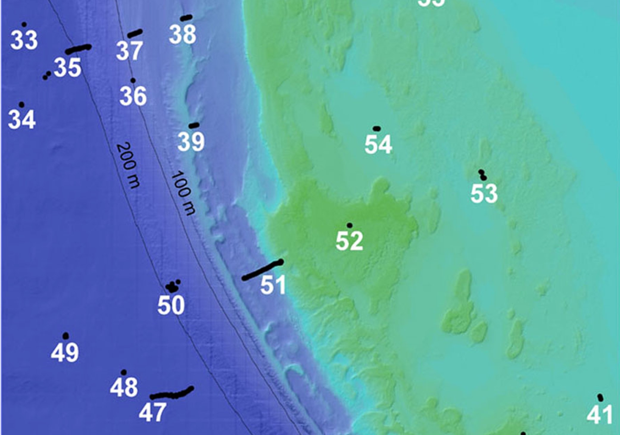
Our BIOmapper displays mapping data from remote sensing and predictive models, as well as underwater site videos. Users can freely and easily interact with these data in an online environment to explore underwater data, discern spatial patterns, and examine habitat distributions, which can collectively support resource management decisions.
Benthic Habitat Mapper
This database provides easy access to a large database of underwater imagery characterizing coral reef organisms and habitats and holds over 9000 underwater seafloor images, taken during mapping missions from 2004-2006 in Puerto Rico and the U.S. Virgin Islands.
Mapping Platforms
3D mapping platforms, such as Living Shipwrecks 3D, are freely available online and allow diverse audiences to directly engage with remote sensing data coupled with photographs and videos. The website, which was a product from a collaboration between NCCOS and the Monitor National Marine Sanctuary, has been used primarily to support stakeholder engagement and outreach efforts ahead of a proposed sanctuary expansion.
Photogrammetry Models
Photogrammetry, such as Structure from Motion (SfM) uses computer vision and a series of overlapping images to produce accurate and detailed three dimensional models of seafloor shape and habitats. NCCOS develops visualization products created from SfM such as interactive 3D models, photomosaics, and digital elevation models. Online interactive models can be very engaging, allowing users to adjust viewing angles and zoom into specific areas. Built-in tools even allow users to measure various model features.


