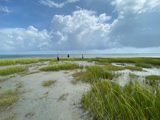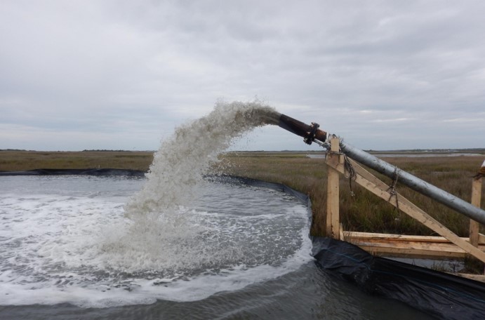
For many coastal communities, marshes help reduce coastal flooding by absorbing wave energy and water, protecting inland infrastructure. Coastal marshes build up elevation by trapping sediment that is brought in by ocean tides. As sea levels continue to rise, intertidal marshes need more sediment supply in order to keep pace with the accelerating water level. One potential source of sediment for coastal marshes is the dredged material from nearby navigation channels. With careful planning, dredged sediment can be added (termed “thin layer placement”) to replenish marsh sediment levels, or to create or enhance nature-based solutions like living shorelines. However, dredged material is frequently deposited in other locations, removing it from its original estuarine system and ultimately reducing the local sediment supply to a marsh.
NCCOS-funded researchers are developing a framework for how to synchronize dredging activities so they line up with opportunities to build sediment in marshes and enhance nature-based solutions. Focusing in Beaufort, North Carolina and Jacksonville, Florida, scientists have worked with local partners and regulatory agencies to co-develop specialized marsh restoration plans that use nearby dredged sediment.

Sites were chosen based on their proximity to important infrastructure, such as an airport, a military base and a national park. Using elevation data, historic imagery, and site characteristics, the team developed specialized restoration plans for each marsh site. For example, at the Michael J. Smith Airport near Beaufort, NC, where the marshes bordering the runways are eroding by approximately one meter per year, the team proposed building out the marsh to the location of the 1959 shoreline using dredged sediment and planting vegetation, creating a hybrid shoreline.
The team is preparing a comprehensive guide that describes a framework for developing and designing beneficial reuse of dredged sediment projects. The guide will include lessons learned from stakeholder meetings, model assessment, design teams, and regulatory feedback. This information will help resource managers navigate the alignment of sediment management with marsh restoration projects to improve coastal resilience, and will be applicable to many coastal marshes across the Southeastern U.S.
This project is supported by the NCCOS Effects of Sea Level Rise (ESLR) Program. More details on this study can be found in this article and on its NCCOS project page. The project is led by the University of North Carolina Chapel Hill and includes co-investigators from NCCOS, U.S. Army Corps of Engineers and EA Engineering, Science and Technology.
