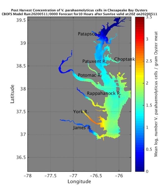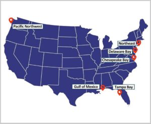
A story map has been created to describe the different Vibrio Predictive Models produced by NCCOS. These predictive models help ensure oysters are harvested when they are safer to eat, assisting coastal managers and oyster growers in oyster harvest decision making nationwide.
Vibrio spp. are bacteria that occur naturally in our coastal waters. The majority of the cases annually are associated with Vibrio parahaemolyticus, usually resulting in self limiting gastroenteritis from the consumption of raw seafood. Vibrio vulnificus is another species of Vibrio bacteria that can cause human illness. Although cases are rare, Vibrio vulnificus infections stemming from water contact with open wounds or consumption can be serious and sometimes fatal.
The story map presents an assortment of predictive models and weather related tools to address issues surrounding safe harvest of shellfish around the nation. In partnership with the US Food and Drug Administration, state and academic partners, NOAA is working continuously through the Ecological Forecasting Roadmap to verify and improve model accuracy and resolution, and transition them to operational state.
For more information, contact Gretchen.Messick@noaa.gov or John.Jacobs@noaa.gov.


