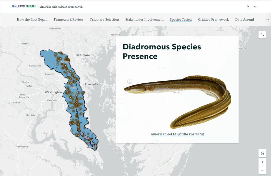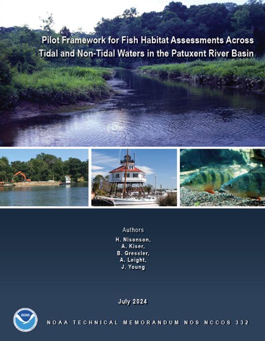
NOAA’s National Centers for Coastal Ocean Science along with the U.S. Geological Survey published a Joint Pilot Technical Memorandum and StoryMap highlighting a seamless spatial framework to integrate fish habitat assessments throughout the Chesapeake Bay from inland rivers and streams all the way to the mouth of the bay.
This effort began when Chesapeake Bay Program Fish Habitat Action Team expressed interest in a finer-scale, seamless, baywide fish habitat assessment spanning tidal salt, tidal fresh, warm non-tidal, and cold non-tidal waters. This information could be valuable to fisheries managers as many fish species – including invasive species and those under federal jurisdiction – inhabit both estuarine and riverine waters. It could also be useful for land planners, as they consider the potential influence of their land use decisions. Due to the vast geographic span and complex habitats and diversity within the 64,000 square mile watershed, previous fish habitat assessments were conducted separately for inland waters and the estuary. This piece-meal approach was often not useful or efficient when comparing across boundaries, and the larger scale assessments didn’t provide the details managers need to make informed decisions.

To address this need, the team explored and reviewed previous framework methodologies in various Chesapeake Bay tributaries to determine which methods would be most suitable. They identified the Patuxent River to use as a tributary for a test pilot for the methodology, based on it possessing the four general habitat types in consideration (tidal salt, tidal fresh, warm non-tidal, and cold non-tidal waters) and the availability of fish survey data. The team engaged with stakeholders, including the Maryland Departments of Natural Resources and Planning and residents of the Patuxent watershed, to gain an understanding of their needs and what they wanted to see included in the assessment.
After gathering stakeholder input, and collecting and combining data, the team constructed the analysis framework using the best available bathymetric and topographic data, which is widely obtainable for many coastal regions throughout the U.S. The team included three versions of framework grid cells measuring 1000 meters, 100 meters, and 10 meters providing that finer scale desired by the partners. They included landscape and hydrological data, such as land cover, surface water quality, and substrate bottom type. Lastly, the team developed preliminary species and habitat distribution models using a compilation of multiple methods to predict probability of suitable habitat. Developing these models separately for the three sizes of grid cells highlighted how there can be different types of environmental factors that predict fish presence based on geographic scale.
Download the NOAA Technical Memorandum for details on this framework and scroll through the StoryMap to walk through the process of exploring and testing methods necessary for a higher resolution, seamless fish habitat assessment across both inland and estuarine waters through the lens of the Joint Pilot Assessment.
While the team used the Patuxent River for their pilot study, this framework can be applied to additional watersheds throughout the Chesapeake Bay and elsewhere. The use of this framework will benefit state and federal fisheries managers, advance fisheries science, and provide beneficial information for the public.
Partners in this effort include the U.S. Geological Survey, and Chesapeake Bay Program Fish Habitat Action Team.
Visit the project page for more information on this project.
