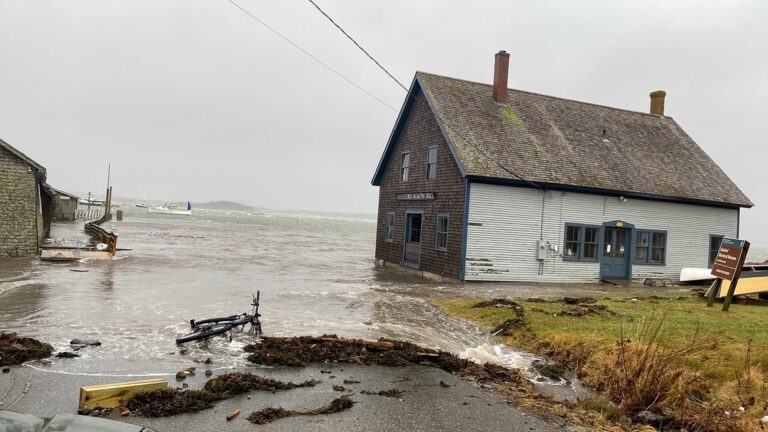
NCCOS-funded researchers have published a short guide on how to communicate the impacts of climate-driven extreme weather in the U.S. northeast, particularly information about nor’easters, regional storms with some of the greatest potential for damage.
Nor’easters, so named because strong winds hit the coast from the northeast, typically occur in New England between October and April, and nearly always bring rough seas, heavy rain or snow, and coastal flooding.
Specifically, the guide identifies best messaging practices to convey to the general public how sea level rise will affect nor’easters at three New England national parks and their surrounding communities: Acadia National Park, Boston Harbor Islands National Recreation Area, and Cape Cod National Seashore.
Among the best practices, the guide emphasizes the need for positive framing, highlighting actions that communities can take to increase their resilience to climate change. For example, around Boston’s Charlestown Navy Yard, the city is raising a main street by two feet to protect more than 250 residents from flooding and building green space up and out from the current shoreline.
The guide is part of a larger project, funded by the NCCOS Effects of Sea Level Rise Program and led by the University of Rhode Island, working to inform and improve coastal New England’s resilience to extreme weather events. Collaborators on the project include Penn State University, the U.S. Fish and Wildlife Service, the U.S. National Park Service, and the Schoodic Institute at Acadia National Park.
