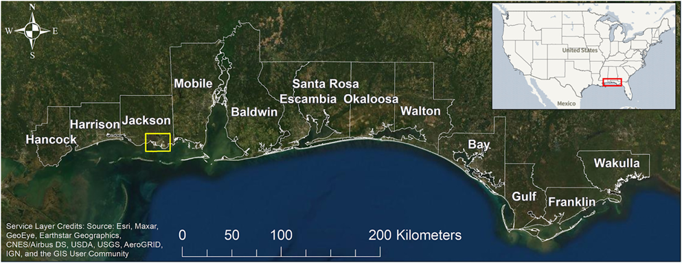
Coastal communities need to know what actions to take to mitigate flooding, now and in the future as sea level rises. A new NCCOS-funded study helps meet this need by quantifying flood risk across 13 coastal counties in Mississippi, Alabama, and the Florida panhandle.


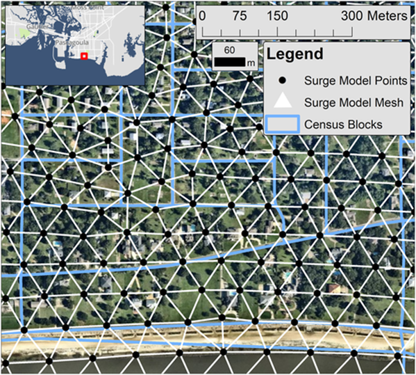
The researchers used geophysical (water levels, currents, and waves) and socioeconomic data to model impacts to coastal communities under various sea level rise scenarios. Model outputs, reported at the census block level, identify residential building damage, populations of displaced people, and populations of people requiring long-term shelter.
Study results will help coastal managers and emergency planners better understand current and future flood risk, especially for locations outside the existing floodplain where flood insurance may be optional. The findings will also inform the type and scale of flood protection measures needed for an area that contains 3,000 miles of open coast shoreline, a dozen bays, major rivers, and extensive coastal infrastructure, including a large tourism industry.
The NCCOS Effects of Sea Level Rise (ESLR) Program provided funding for the study, which was led by scientists from Louisiana State University, the University of Georgia, and the Harte Research Institute at Texas A&M University–Corpus Christi.
