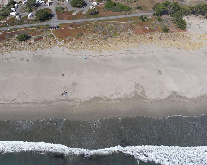
Nature-based solutions to coastal erosion and flooding, such as restoring dunes and wetlands, can help counter the effects of sea level rise, but they often require adding sediment to build up natural features. To add sediment, project managers must navigate a multi-agency regulatory framework for sediment application.
In response, a multi-agency group, partly funded by the National Centers for Coastal Ocean Science (NCCOS), published a guide to the regulatory process for sediment management on the North-central California Coast. The newly released Efficient Permitting Roadmap for Coastal Sediment Management is a first of its kind manual that shows users how to navigate the permit review of projects involving sediment management, including everything from tidal marsh, beach, or dune restoration to sediment storage and beneficial use of dredged material.
The Roadmap is a practical handbook on how to meet federal, state, and local requirements for sediment management to increase coastal resilience in the region. It details each government agency’s role in reviewing and permitting sediment management projects, and provides tips and guidance for resolving common potential challenges. The publication also provides resources on environmental review, tribal engagement, and contact lists to make it easier for planners to get feedback on their designs and quickly assemble their permit applications.
While the primary audiences are in California, the Roadmap provides permit and environmental review guidance for all applicable state and federal agencies, making it a potential blueprint for other communities across the nation seeking to streamline their permitting processes and reduce barriers to habitat restoration.
The Roadmap is a product of the North-central California Coastal Sediment Coordination Committee (NCCSCC), a collaboration of 17 agencies focused on sediment management at different levels of government (see list below). Additionally, NCCSCC created the Coastal Agency Review for Sediment, a multi-agency permit feedback forum that provides feedback and advice to project teams navigating the permitting process. Ultimately, these resources will accelerate implementation of coastal resilience work to better meet the region’s climate adaptation goals.
The project was supported in part by the NCCOS Effects of Sea Level Rise Program. For more information, visit the project page on the NCCOS website.
North-central California Coastal Sediment Coordination Committee (NCCSCC) Agencies
Federal
- Greater Farallones National Marine Sanctuary
- Environmental Protection Agency
- NOAA Fisheries
- U.S. Geological Survey
- U.S. Army Corps of Engineers
- National Park Service
State
- California Natural Resources Agency
- California Coastal Commission
- California Department of Fish and Wildlife
- California State Lands Commission
- California Department of Transportation
- San Francisco Bay Conservation and Development Commission
- San Francisco Bay Regional Water Quality Control Board
Local
- Sonoma County
- Marin County
- San Francisco City and County
- San Mateo County
