Coastal Aquaculture Siting and Sustainability (CASS)
Providing high quality science, guidance, and technical support to coastal managers to grow sustainable aquaculture while maintaining and improving ecosystem health
Aquaculture Opportunity
Aquaculture Opportunity Areas will expand economic opportunities in coastal and rural areas, and increase seafood security.
Coastal Aquaculture Planning Portal
The Coastal Aquaculture Planning Portal (CAPP) is a toolbox of coastal planning resources designed to assist coastal managers, planners, and industry with sustainable aquaculture development in the following areas.
Featured Tools
OceanReports
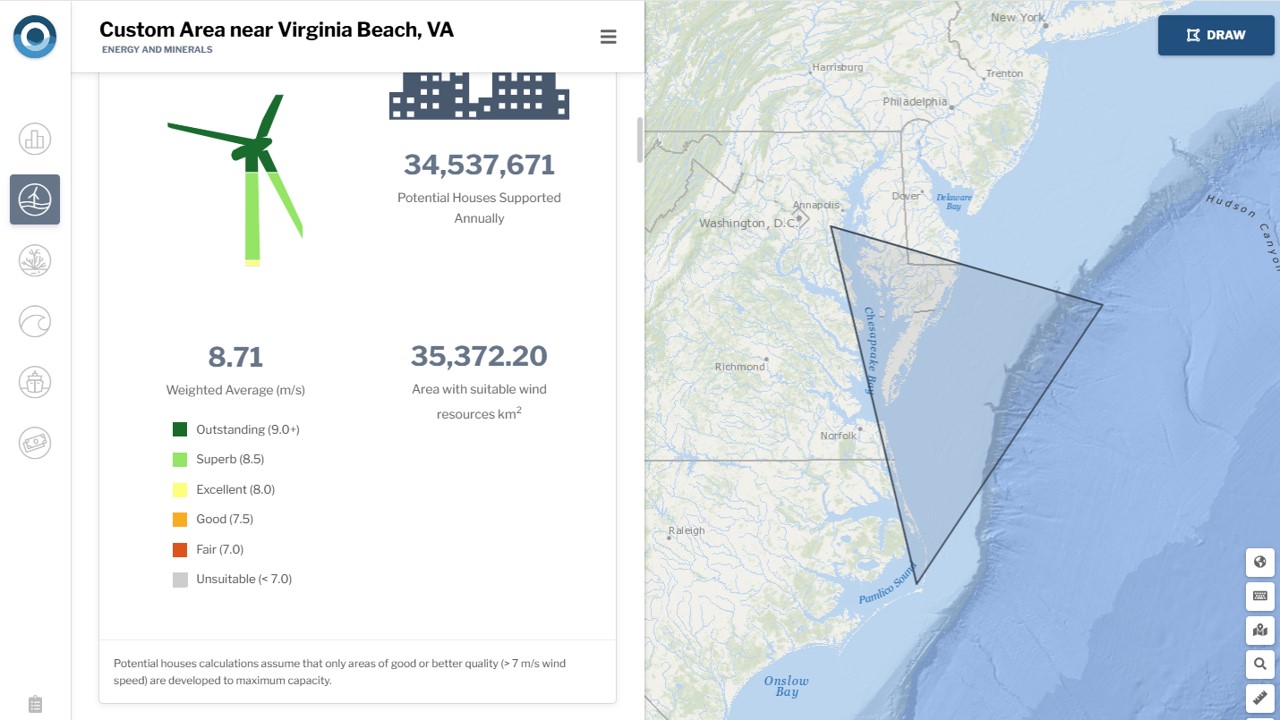
Draw a custom area anywhere in U.S. waters or pick from a predefined list of locations to get instant custom reports. Reports include descriptive infographics and supporting data that can be used for offshore planning, permitting, environmental review, public relations, and more.
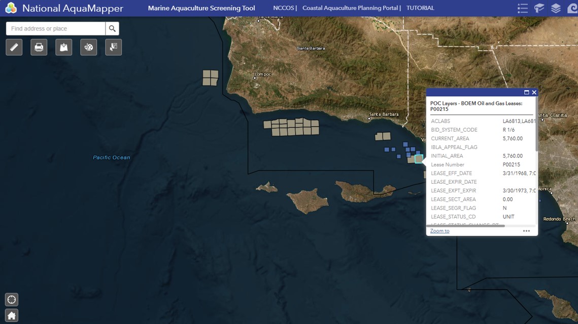
National AquaMapper
This easy-to-use map viewer allows coastal managers and aquaculture farmers to visualize many of the necessary considerations needed for proper siting and permitting in the United States.
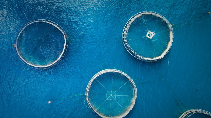
Coastal Aquaculture Planning Portal (CAPP)
The Coastal Aquaculture Planning Portal (CAPP) is a toolbox of coastal planning resources designed to assist coastal managers, planners, and industry with sustainable aquaculture development.
CASS Story Map
Our mission is to provide tools and services for coastal managers empowering them to maintain healthy, resilient ecosystems while supporting aquaculture development in the coastal zone. Visit our Story Map to learn more.

